Best Fishing Spots Near North Adams

Windsor Lake, affectionately known by locals as "Fish Pond," sits right in the heart of North Adams and is one of the most convenient fishing spots in the area.
It is stocked primarily with rainbow trout, with occasional brook trout and brown trout, in both spring and fall. During the summer, trout that have held over from spring stocking are still present, and bass and panfish become the primary targets.
A fee is charged to visit during the summer months. Outside of those months, access to the park is free. A gravel boat ramp is available for non-motorized boats. Shore fishing is accessible around most of the lake.
Restrooms, picnic tables, and a swimming beach with lifeguards are all on site — making this a great spot for families who want to combine a day of fishing with other activities.
Getting there & parking: Take Route 2 to Eagle Street, make a right one block, and turn left on Main Street, curving right onto Church Street. Follow it 1.7 miles to Bradley Street and take a left.
The northern end of the park will be in front of you, with a couple of parking spaces next to the boat ramp. Turn right into the park and there are many additional spaces.
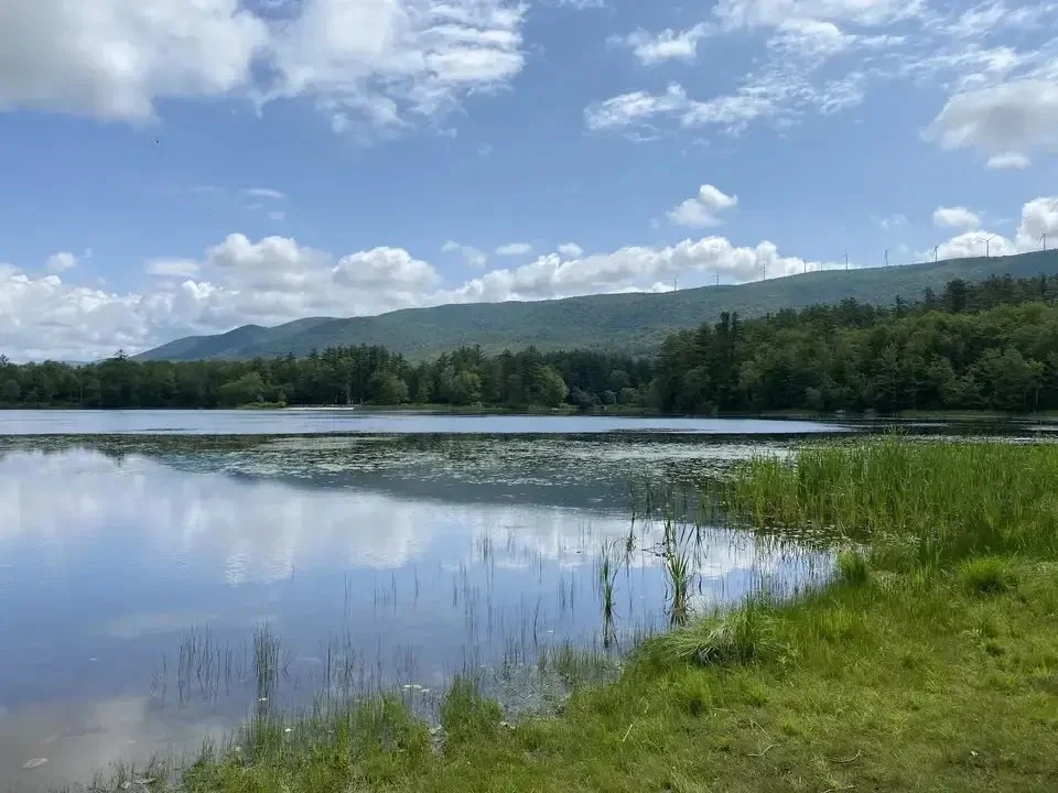
Mauserts Pond is a shallow, artificial pond of 49 acres, also known as Clarksburg Reservoir, located in Clarksburg State Forest just off Route 8.
Average depth is five feet and maximum depth is eight feet. Aquatic vegetation is abundant over the entire pond. It's a laid-back, family-friendly fishery where you don't need specialized gear to have a good day.
Daily parking fees from late May to early September are $5 for MA residents and $20 for non-residents, based on license plate.
Flush toilets, showers, and a picnic pavilion are available on site. Campsites are available for those who want to make a weekend of it.
Getting there & parking: Drive north on Route 8 from North Adams and turn left on Middle Road. Take a right into Clarksburg State Park and follow the road all the way down past the large parking lot.
A second lot near the beach area holds roughly 30 spots and offers quick access to the pond.
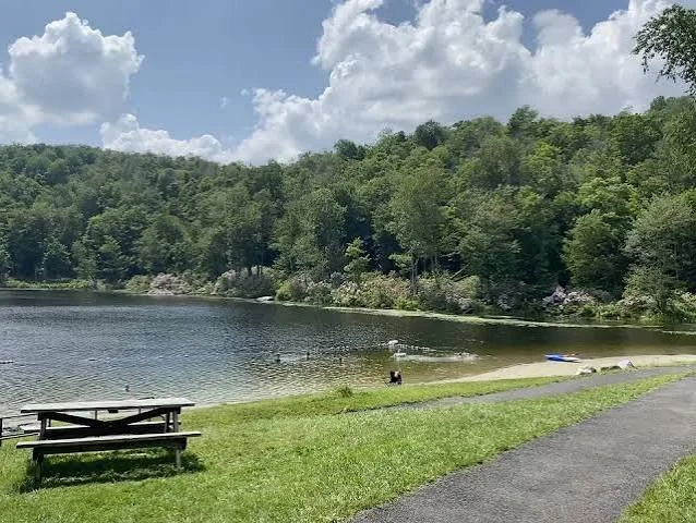
North Pond is a hidden gem tucked deep in Savoy Mountain State Forest, about 25 minutes from North Adams.
This small, 18-acre trout pond has a maximum depth of 28 feet and an average depth of 13 feet. The water is clear and of excellent quality, with a transparency of 14 feet. The shoreline is very open and accessible, affording excellent shore fishing.
The pond offers productive fishing, particularly for panfish such as pumpkinseed and brown bullhead, and brook trout, brown trout, rainbow trout, and golden shiner.
It's stocked by the state and is a reliable summer option, especially earlier in the season when the water is still cold.
Picnic tables, grills, and restroom facilities are available on site. The surrounding forest has over 50 miles of trails for post-fishing hikes.
Getting there & parking: Take Strykers Road south from Route 2 for about 2.9 miles, then take a right on Shaft Road and follow it south until you see the boat ramp and parking areas on the right.
A large parking lot sits on the shoulder of Center Shaft Road, just south of the boat launch.
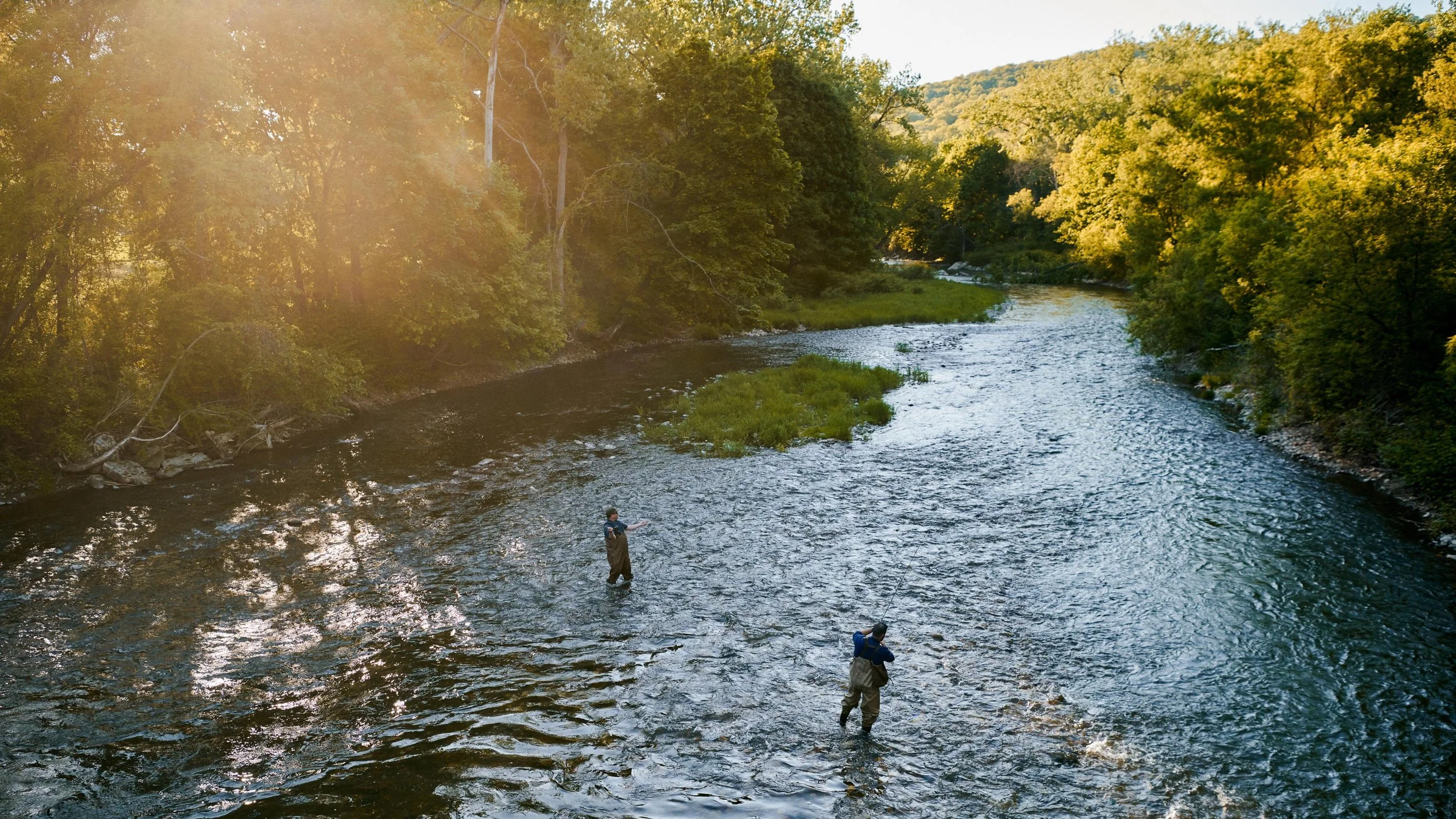
The Hoosic River runs right through North Adams and offers miles of accessible fishing water. It is most popular for brown trout, rainbow trout, and smallmouth bass. The most common species are brown trout, brook trout, and rainbow trout, and fishing is allowed in certain areas of the river.
This is an important one for anglers to know — the channelized section in North Adams to the Vermont state line is under a "Do not eat any fish" advisory by the Massachusetts Department of Public Health due to PCBs. Catch-and-release is strongly advised in this stretch.
Upstream of the chutes, the river is clear, cold, and alive with native aquatic life including native brook trout. Heading north toward Williamstown, water quality improves significantly and the river becomes more fishable.
Getting there & parking: The river is accessible at multiple points throughout North Adams. The North Branch can be reached along Route 8, which follows the stream. Roadside pull-offs along the river corridor provide informal access.
The Ashuwillticook Rail Trail also runs along portions of the Hoosic and offers easy walking access to the water.
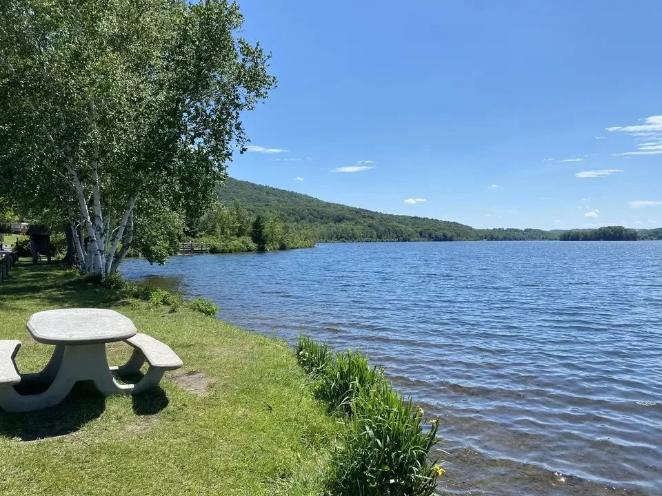
Cheshire Reservoir is one of the most productive warmwater fisheries in Berkshire County, about 20 minutes south of North Adams on Route 8.
This 575-acre impoundment of the Hoosic River has three distinct basins. The northern basin is the largest at 295 acres with an average depth of 7 feet; the middle basin is 187 acres with an average depth of 5 feet; and the southern basin is 93 acres and very shallow.
The reservoir contains impressive populations of largemouth bass, yellow perch, and northern pike. Largemouth bass are typically larger than average, yellow perch are both large and abundant, and northern pike over 40 inches are reported in most years. Chain pickerel, black crappie, bluegill, brown bullhead, and pumpkinseed are also present.
Getting there & parking: Head south on Route 8 from North Adams into Cheshire. The reservoir runs alongside the western side of Route 8.
Shore fishing access is good thanks to the causeways and a railroad bed running along the eastern shore. There is a ramp at the north end for boat access, and the other two basins can be accessed by canoe or car-top boat from the causeways.
There is also a town-managed shore fishing, picnic area, and cart-top launch off of Farnams Road on the southern shore of the northern basin.
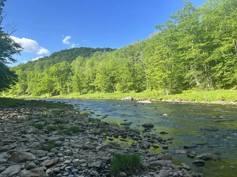
The Fife Brook section of the Deerfield River, about 25 minutes east of North Adams on Route 2, is one of the finest trout fisheries in western Massachusetts.
The upper catch-and-release reach extends 1.5 miles from Fife Brook Dam downstream to the Hoosac Tunnel railroad trestle.
The upper section can support coldwater fish year-round thanks to the cold-water release from the Fife Brook Dam. MassWildlife surveys have found brown trout, rainbow trout, brook trout, white sucker, slimy sculpin, and longnose and blacknose dace.
This is a catch-and-release, artificial lures only section — no bait, no keeping fish.
The flow of water from the dam can change the water velocity very quickly, making wading dangerous when high water is being released.
Check the Fife Brook Dam release schedule before your trip at safewaters.com.
Holdover browns can run over 20 inches, and rainbows average 12 to 15 inches. The river has generous hatches of caddis flies, blue quills, and other mayflies.
Getting there & parking: Take Route 2 east from North Adams toward Florida, MA. Turn onto River Road, which runs the entire length of the catch-and-release section. Starting below Fife Brook Dam and moving downstream, there are several unmarked pull-offs where parking is available.
Rafts and other small watercraft can be launched at the Fife Brook Dam access.
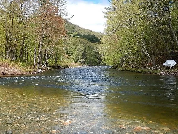
Below the Fife Brook section, the Deerfield River through Charlemont offers more relaxed and varied fishing.
The Deerfield River is perhaps the best coldwater fishery in the state, offering excellent trout fishing year-round due to cold water releases from dams along the river. The lower river offers opportunities for all three species of trout — brown, rainbow, and brook — as well as smallmouth bass and nice runs of American shad during the summer months.
The lower catch-and-release section near Charlemont runs from the mouth of Pelham Brook to the Mohawk Campground and is also artificial lures only, catch-and-release.
Outside the catch-and-release zones, standard Massachusetts regulations apply.
The Mohawk Trail (Route 2), River Road, and Zoar Road all follow the river and provide handy parking areas and trails to the water. The river can be popular on weekends, so arriving early is advised. Whitewater rafting is also common here in summer, so be aware of river traffic.
Getting there & parking: From North Adams, take Route 2 East past the Charlemont town line. The river runs alongside Route 2 through town, with multiple pull-offs and access points along the road. River Road in Charlemont also provides additional access along the water.
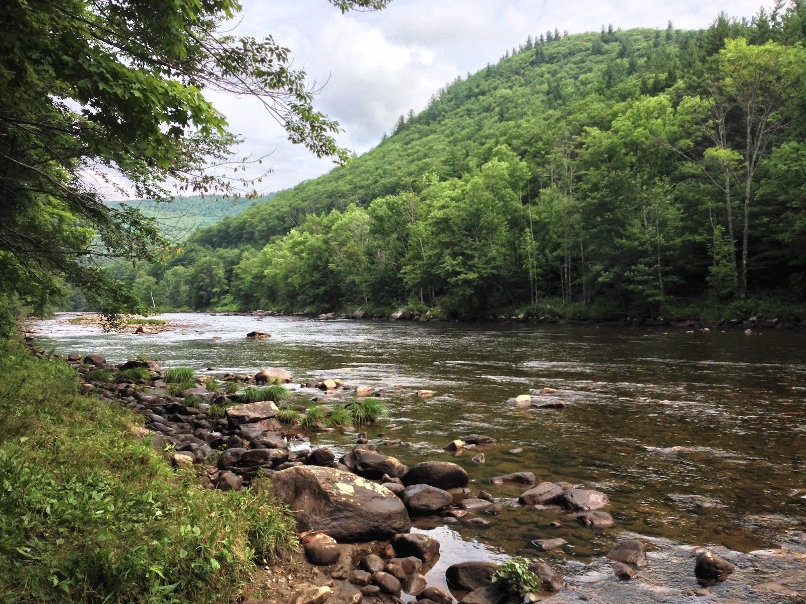
The Cold River is a gem for anglers seeking a more rugged, wilderness-style experience.
A clear, cold river cascades through Mohawk Trail State Forest along a rocky streambed — one of the most scenic areas in Massachusetts, covering over 6,000 acres of mountain ridges, deep gorges, and tall old-growth trees.
Brook trout, brown trout, rainbow trout, and tiger trout are all found in the Cold River's clear, cold waters. The river is popular among fly fishers, but baitcasting and spinning also produce good results.
The Cold River itself has no special catch-and-release restrictions, so standard MA regulations apply. Camping is available at 53 wooded sites and 6 log cabins for those who want to fish multiple days.
Getting there & parking: From the east, follow Route 2 West to the western end of Charlemont — the park entrance is on the right. From the west (North Adams), take Route 2 East toward Charlemont; the park is on the left at the bottom of a steep grade.
The address is 175 Mohawk Trail / Route 2, Charlemont. Use "Cold River Road" for GPS navigation. Parking is available at the forest entrance on Route 2 and at designated areas within the property.
_____________________________________________________
A reminder for all locations: A valid Massachusetts fishing license is required for anglers 15 and older (residents 65+ are exempt). Always check the current Massachusetts Division of Fisheries & Wildlife regulations before heading out, as rules and stocking schedules can change seasonally.